
Search an Oak Park Street by Address
An Oak Park street search starts with the full delivery address, not a guessed name. Confirm the address with USPS, then use Oakland County Property Gateway to locate the parcel and its PIN. The PIN ties the map view to the property record. Oak Park BS&A can then provide a second municipal reference view for the same address, name, or parcel. Treat each display as a dated lead, because the county says the GIS service reflects the most recent data available to it and is not a certified assessor record or recorded instrument.
- Enter the complete Oak Park address in USPS, then retain the returned city, state, and ZIP spelling.
- Search that address in Oakland County Property Gateway, or click the parcel on its map, and record the PIN with the map date.
- Compare the address, PIN, municipality, assessment year, and available reference details in Oak Park BS&A.
- Use the parcel's recorded parties and document references in the Oakland County Super Index, then inspect or order the instrument when the legal chain matters.
- For an earlier Oak Park street entry, record the directory year, publisher, page, and exact house number before comparing it with census or archival material.
That route distinguishes an address, a parcel, an owner-of-record display, a recorded transaction, and a historic directory entry. They may point in the same direction, but they are not interchangeable evidence of present occupancy.
Oak Park Street Directory Search Fields
Property Gateway supplies the county map side of the Oak Park street directory. Its official FAQ supports a map click, property-address search, and PIN search. A valid PIN is the county's unique ten-digit parcel identifier. The same identifier may be labeled Parcel Number, Parcel ID, or Sidwell. The county mapping service also says an address search needs at least five characters, a useful check when a short street query produces an uncertain match.
| Oak Park search key | Where it works | Format or choice | Use it to confirm |
|---|---|---|---|
| Property address | Property Gateway and BS&A | Gateway needs at least five address characters | Street spelling and parcel candidate |
| PIN | Property Gateway | Valid ten-digit county parcel identifier | Map, parcel, and cross-office match |
| Parcel Number, Parcel ID, or Sidwell | County terminology for the PIN | Alias for the same parcel key | Whether records refer to the same parcel |
| Map click | Property Gateway | Select the parcel geometry | Parcel location and adjacent PINs |
| Address, name, or parcel | Oak Park BS&A | Three municipal search choices | Tax, sale, assessment, building, utility, or special-assessment reference category |
BS&A labels its information as reference material without a warranty. Property Gateway also has premium reports and printable maps, while many map functions are free. Where an address produces more than one parcel, resolve the legal parcel first instead of attaching a person or document to the wrong Oak Park street location.
Oak Park Streets and Parcel Geometry
The map is useful for a street-by-street question because it shows parcel geometry, not because it names households. Starting at the target Oak Park parcel, use the PIN to identify adjacent parcel keys. Then compare the related assessment or tax references in BS&A and the recorded instruments held by the Register of Deeds. A shared street name is not enough, especially when a corridor continues into Detroit, Ferndale, Royal Oak, Berkley, or another jurisdiction.
The city Oak Park main map answers a different question. It shows city facilities, parks, and layers, including the Community Center and library. It offers civic-place context rather than county parcel ownership. Save the map date, selected layers, and any displayed disclaimer when the map is part of an Oak Park street research note.
Oak Park Street Deed Index Clues
The Oakland County Clerk/Register of Deeds keeps recorded land instruments for property in the county. Its Property and Land page identifies deeds, mortgages, foreclosure documents, personal-property filings, Super Index, Property Records Notification, and acreage books. A result for a grantor or grantee is a lead to a recorded transaction. It does not establish that either party lived at the Oak Park street address. For a dispute, estate, or title question, inspect the recorded image or request a certified copy from the custodian.
The Oakland County Super Index is shown below as a finding-aid reference for the Oak Park street directory.
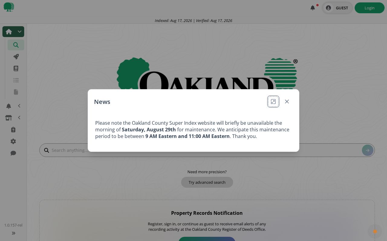
Oakland states that Super Index copies recorded documents from January 1, 1964, except subdivision plat maps. The research did not capture the live controls, export options, or exact field labels, so an old index hit should be followed by the actual instrument or the county counter rather than an assumption about a search field.
Copies are listed by the county at $1 per page and certification at $5 per document, subject to the current fee screen. A subdivision plat falls outside the stated Super Index copy coverage and may require the separate plat or map route at the county office.
Oak Park Street Records by Address
Each address-keyed source answers a limited question. Property Gateway connects the Oak Park street address to a PIN and map. BS&A groups municipal reference categories. The deed index supplies recorded-instrument leads. A historic cross-index can place an address in a particular publication year. The city project map can identify public project or permit activity. Keeping those categories separate prevents a street directory from becoming an unsupported claim about a household.
| Address-keyed source | Oak Park keeper or route | What it can show | Key limit |
|---|---|---|---|
| Property Gateway | Oakland County GIS | Address or PIN, parcel map, and current reference display | Not a certified assessor or recorded instrument |
| BS&A Online | Oak Park municipal portal | Address, name, or parcel searches across tax, sale, assessing, building, licensing, utility, and special-assessment categories | Reference data with no warranty |
| Super Index | Oakland County Register of Deeds | Recorded-document lead by parties and recorded references | Stated copies begin in 1964 and exclude subdivision plats |
| Current Projects map | City of Oak Park | Project, permit, address, or parcel activity and public status stage | Not a resident list |
| South Oakland cross-indexes | Royal Oak Public Library guide and collection shelves | Street and house-number leads for a specific directory year | Oak Park inclusion must be checked for the year |
For a current property chain, the PIN is the safer cross-office bridge than the street name alone. For a historical Oak Park address, pair the source year with the house number and original jurisdiction label. A directory entry, a GIS display, and a deed image have different evidentiary weight.
Oak Park Street Project Context
Oak Park Current Projects can be searched by project, permit, address, or parcel. Its public status stages can help explain a construction change, road work, or planning event connected with a street address. That is useful context for a property timeline, yet it does not identify a person who lives nearby or establish the date that anyone moved.
The Oak Park main map is shown below for the city-facility and corridor side of a street question.
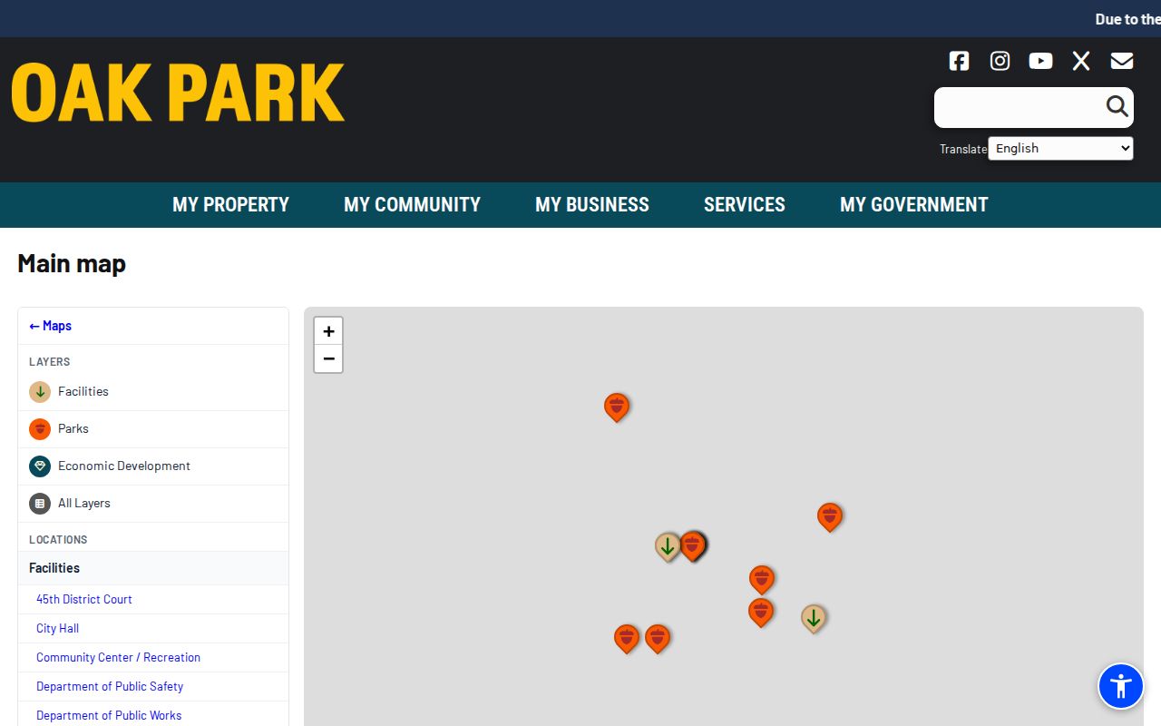
Use the city map for public places and the current-project map for dated project context. Use Property Gateway for the parcel itself. These three views complement one another without turning a map marker into a claim about an Oak Park resident.
48237 and Oak Park Streets
Oak Park addresses commonly use 48237, and the official Michigan ZIP map labels Oak Park with that ZIP. USPS still treats a ZIP result as a delivery aid, not confirmation of a person or company. Its lookup has separate address, city-and-state, and cities-by-ZIP routes. The full-address route is the best way to normalize an Oak Park street before the parcel search begins.
ZIP 48237 is not a parcel boundary, city-limit polygon, or Census ZCTA. That distinction matters on Oak Park streets near a corridor or city line. Postal geography can narrow an address, but the county PIN and legal description are the keys for parcel and deed work. Note: A ZIP match should be recorded as postal evidence, not as proof of municipal jurisdiction or occupancy.
Historic Oak Park Street Labels
Oak Park was chartered in 1945 after portions of Royal Oak Township were annexed. Pre-1945 sources may therefore use Royal Oak Township or another neighboring label, while later material can use Oak Park city. Cite the jurisdiction as the historic source prints it. Do not silently replace a township label with the current city name, because the change can alter how a street or parcel must be found.
The city reported 1,119 new buildings from 1946 through 1949, making permits, assessments, plats, transfers, and directories especially relevant to a postwar Oak Park street timeline. No official street-renumbering or modern-address-to-township bridge was located. When an older number fails, compare historic plats, the legal description, directories, map resources, and an archives or library finding aid before declaring a match.
Oak Park Street Directory History
Historic directories offer a dated street view, not a live roll. The Library of Michigan says Polk-style books can be approached by surname, street, or phone, with street sections arranged alphabetically and then by house number. Royal Oak Public Library's local-history guide reports Bresser Cross-Index Directories for South Oakland County in runs including 1952 through 1957 and 1964 through 2009. Check the catalog or shelf for Oak Park coverage in the specific year.
Record the exact house number, surname, street form, publisher, year, and page. The Library of Michigan's print copies are on second-floor south shelves by city or county, and microfilm or fiche is in the microfilm room by call number. The historical volumes themselves receive fuller treatment in the Oak Park directory collections, while this Oak Park street directory uses them only to anchor an address in time.
Oak Park Street Research Notes
A compact research log makes a difficult Oak Park street search repeatable. It also keeps a modern property display from being mixed with a historic directory observation. Log the portal access date and any disclaimer, not just the name that appeared on a screen. If a portal produces no result, spelling, redaction, historic jurisdiction, a directory gap, or a separate records route may explain it.
- Parcel
- A defined piece of land identified by the county PIN and its legal description.
- Situs address
- The physical property address used to locate the parcel, which can differ from a mailing address.
- Plat
- A recorded subdivision map used to describe lots; Oakland's stated Super Index copy coverage excludes subdivision plat maps.
- Criss-cross directory
- A directory arranged to connect a street address or house number with entries from a particular publication year.
The essential columns are the address as searched, PIN, legal description, map date, assessment year, instrument reference, directory year, and source URL. That record set supports a careful house-history or estate file without implying that every name attached to an Oak Park street is current.
Limits of an Oak Park Street Directory
An address search cannot turn different record types into a complete household list. A Property Gateway or BS&A owner display is an ownership or assessment reference. A deed records a transaction. A city project entry records public project context. A historical directory and a census schedule describe a past observation. Protected addresses, redactions, stale data, name collisions, and different update dates require caution at every step.
For an important result, contact the right custodian: the county property office for parcel questions, the Register of Deeds for instruments or copies, the city clerk for municipal records questions, or the library and archives for historical collection coverage. Michigan's Address Confidentiality Program shields actual residence information for eligible participants, and a protected address must never be reverse-engineered from a directory.
Lawful use. Use Oak Park street records for family history, an estate matter, property research, civic context, or personal safety. Do not use an address lead to stalk, harass, intimidate, or contact a protected person.