
Oak Park Neighbors by Parcel
Oak Park neighbors are best researched as a relationship between adjacent parcels, not as a claim about every household near an address. Resolve the target address first, then use the county's PIN, a unique ten-digit parcel identifier, to inspect nearby parcel geometry. Property data, recorded land instruments, city project notices, and civic meeting records each describe a separate layer. Keeping those layers separate makes a boundary, easement, public-project, or house-history question more accurate and less intrusive.
| Source | Block layer it can show | Access and limit |
|---|---|---|
| Oakland Property Gateway | Target address or PIN, parcel geometry, map click, reports, and nearby PINs | Many features are free; reports and maps can have charges |
| Oak Park BS&A | Address, name, or parcel entry to municipal property and tax references | Reference display, not a certified record |
| County Property and Land | Recorded-instrument trail for parcel parties and legal descriptions | Index lead, then custodian image or copy if needed |
| Oak Park Current Projects | Public project or permit context by project, permit, address, or parcel | Project context only, not an occupant record |
| Boards and commissions | Public civic roles, appointments, agendas, and minutes | Public civic layer, not a private directory |
Property Gateway also offers reports, printable maps, and support for users who need a county map product. Many functions are free, while premium reports and printable maps use a paid model. Its current display may have gaps for some cities, villages, or townships, so preserve the source date and use the assessor or Register of Deeds when a certified or recorded source is needed.
An owner-of-record display is not proof of who lives at a parcel. Likewise, a map relationship identifies land beside land. It does not establish a household relationship, a current mailing address, or consent to contact anyone nearby.
Mapping Oak Park Neighbor Parcels
Use the county map before a name search. Property Gateway accepts a property address or PIN and supports a map click. Its FAQ uses PIN, Parcel Number, Parcel ID, and Sidwell as related terms. Keep directional prefixes, street suffixes, and unit text exact when they are part of the address. Save the map date, selected layer, and any display warning with the result. Parcel boundaries can change, and the county describes its information as the most recent data available to the service rather than a substitute for a certified assessor or recorded instrument.
- Enter the Oak Park street address or a known PIN in Property Gateway and confirm the target parcel.
- Click the adjoining parcel shapes and record each neighboring PIN, without guessing who occupies the site.
- Compare the legal description and assessment references with Oak Park BS&A when a boundary or parcel split matters.
- Use the recorded parties and instrument references only when a deed or easement question requires the county land-record route.
The process is address → PIN → parcel map → adjacent PIN → legal description → recorded instrument. The legal description is the formal land description carried in an assessment or deed record. It is stronger than a street-address guess when a lot has changed shape. For a full named-street record trail rather than the immediate block, use the Oak Park street directory lookup.
Note: A parcel is a legal unit of land; a street address is a delivery and location label, and they can diverge after splits, combinations, or map updates.
Oak Park Neighbors and Projects
Oak Park's Current Projects map is a useful civic layer around a block. It searches by project name, permit number, address, or parcel and can show stages such as applied, approved, under construction, and other project-status information. That material can explain a visible construction change, a public planning item, or a permit context near a parcel. It cannot identify the people who live at or visit a location.
The Oak Park Current Projects page shows the public project, permit, address, and parcel search controls.
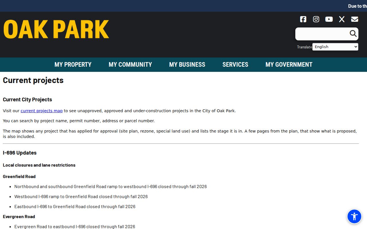
Read the stage as a time-stamped project status. It can change, and it should not be used as a shortcut to infer present residency or private contact information.
Note: Save the project page access date because permit stages, map layers, and public planning details may change after a search.
Oak Park Neighbors Civic Context
A block can have public context without becoming a resident roster. Oak Park's boards and commissions page documents appointed civic bodies, public participants, meeting dates, terms, agendas, and minutes. Beginning in 2026, the city uses a new portal for current agendas and minutes, while older material remains in MuniCode. These records are useful for following an official decision or civic role, but not for building personal profiles from a name in a meeting record.
City Clerk
Municipal records and civic contact route.
248-691-7544
Boards and Commissions
Official appointments and meeting material for public civic context.
City Main Map
Facilities, parks, and corridor context, not a parcel-owner map.
The boards and commissions page provides the official civic-membership layer.
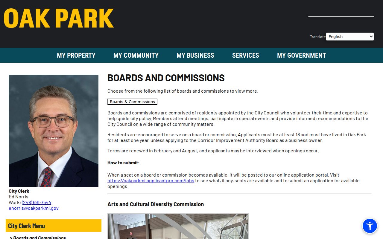
The screenshot supports civic research about a public body. It does not turn attendance, appointment, or a public role into a neighborhood contact list.
For a broader but non-personal view, the city profile reports 29,560 people across 5.16 square miles, 11,719 households, and 1,031 businesses. Those aggregates help describe Oak Park's civic scale and school-district context. They cannot resolve a parcel boundary or identify the people associated with one block.
Oak Park Neighbor Directory Gap
No official Oak Park inventory of neighborhood associations or block clubs was located in the research. That absence matters. Do not fill it with a similarly named community in another state, and do not treat a community group's public mission as a verified membership list. South East Oak Park Community Organization is a non-government community lead with a public mission, not an official city directory or a confirmed roster.
The Oak Park community profile is the citywide context source used when an association directory is unavailable.
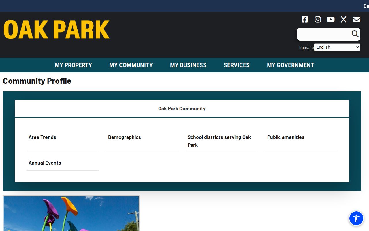
It reports aggregate civic context, including 11,719 households and three school districts, rather than a list of names or addresses. Ask an organization directly about its own public contact method and membership rules.
Oak Park Neighbor Geography
Oak Park neighbor research has several overlapping geographies. USPS 48237 is a postal label. City limits identify municipal jurisdiction. A parcel polygon establishes the legal land unit. Census ZCTAs are statistical areas. Those lines do not necessarily match. Use a full-address USPS lookup for a mailing question, then the PIN and Property Gateway for a parcel question. A ZIP alone cannot establish a boundary, an owner, or who lives nearby.
Historic geography adds another layer. Oak Park was chartered in 1945 after portions of Royal Oak Township were annexed, so an older directory, plat, or census citation may use the township label rather than the city name. The postwar period also produced 1,119 new buildings from 1946 through 1949, which helps explain why permits, assessments, plats, and transfers become more visible in later city records. Preserve the original jurisdiction in notes and use a supported map, deed, or directory citation before linking an older address to a modern parcel.
Note: The city facility map gives local orientation, while the county parcel map resolves parcel geometry and neighboring PINs.
Oak Park Neighbor Tools Compared
Official and commercial tools serve different purposes. An official parcel, deed, project, or civic record identifies the record's custodian and usually makes its limits visible. Commercial neighbor tools may combine names, addresses, and other material from sources with different update dates. That can be convenient, but it makes it harder to tell whether a display is a parcel owner, an older directory entry, or an unsupported match. Use the official source to test a specific record claim.
| Question | Official record route | Commercial category |
|---|---|---|
| Which parcel touches the target? | Property Gateway map and neighboring PINs | May show addresses without legal parcel geometry |
| Was there a recorded land transfer? | County index, instrument, and custodian copy | May not show document provenance or update date |
| Is there a public civic item nearby? | City project map or board material | May mix public context with unrelated person data |
For an important boundary or deed question, retain the source URL, record date, PIN, and legal-description reference. An unverified display should stay a lead, not a conclusion about an Oak Park neighbor.
Oak Park Neighbor Privacy
Michigan's Address Confidentiality Program protects actual residence information for eligible applicants through a substitute-address and mail-forwarding system. A protected-address signal is a stop point, not an invitation to search across additional records. Public records also contain redactions, stale mailing addresses, name collisions, and different update cycles. Keep private phone and email information, signatures, ID numbers, account details, protected birth information, victim information, and protected addresses out of personal research notes.
Lawful use. Use Oak Park neighbor records for a lawful boundary, civic, family-history, or property question. Never use them to watch, stalk, harass, intimidate, or seek out a protected person.
If safety or a suspected record error is involved, contact the relevant custodian or Oak Park Public Safety through its published nonemergency number, 248-691-7520. Do not confront someone based on an online match. The sound result may simply be that the available record cannot prove the question asked.