
Oak Park Previous Residents by Era
Previous residents of an Oak Park address are documented differently in each period. Begin with the known address and parcel, then choose the source that can speak to the year in question. Recorded land documents trace transfers. Directories and census schedules place names at an address in a dated publication or enumeration. Plat maps, archival inventories, and city project material can explain the property itself, but none should be treated as a complete list of past residents.
| Oak Park source | Years it covers | Where it is held | What it can show |
|---|---|---|---|
| Super Index recorded-document copies | From January 1, 1964, except subdivision plat maps | Oakland County Register of Deeds | Recorded-instrument lead and parties to a transaction |
| Bresser Cross-Index Directories | Runs including 1952-1957 and 1964-2009 | Royal Oak Public Library local-history collection guide | Street and house-number lead for a specific directory year |
| Oak Park directory leads | 1930, 1933, and 1936 leads | Library of Michigan and collection verification | Potential Oak Park entry for the named issue |
| Federal census | 1790-1950 under the 72-year rule | National Archives and library research access | Historic household observation with jurisdiction and page context |
| Oakland County archival series | Varies by collection | Archives of Michigan county guide | Tax, assessment, probate, cemetery, voter, and property-history clues |
| Current Projects map | Current portal, historical coverage not stated | City of Oak Park | Public project or permit context by address or parcel |
For a recent transaction, start with USPS, Property Gateway, BS&A, and the recorded instrument. For a much older Oak Park address, work from the exact house number into a directory or census year, then use maps and the original jurisdiction label to bridge the result to the parcel. A gap in a directory year is a gap in the source, not proof that no one lived there.
Oak Park Parcel Keys Before Names
The most stable starting point for Oak Park previous residents is the address plus its parcel, rather than a person's name. USPS confirms the delivery form. Oakland County Property Gateway supplies the PIN and map. Oak Park BS&A can be checked for assessment, sale, and building reference categories. Record the PIN, legal description, map date, assessment year, and each source disclaimer before following a name into the deed index.
A PIN is the county's unique ten-digit parcel identifier and may also appear as Parcel Number, Parcel ID, or Sidwell. It is a stronger bridge than an address alone because a parcel can split, combine, or be described through a subdivision plat. If those conditions appear, stop using only the street address. Compare the PIN and legal description across the county and city reference views, then inspect the recorded deed image when the property chain matters.
Oak Park's 1945 Address Handoff
Oak Park's history changes the label used for a house-history search. The city was chartered in 1945 after portions of Royal Oak Township were annexed. A pre-charter address may therefore appear under Royal Oak Township or another neighboring jurisdiction, while a later source may say Oak Park city. Preserve the wording printed in the historic record and describe the modern Oak Park connection only when a map, deed, directory, or charter source supports the bridge.
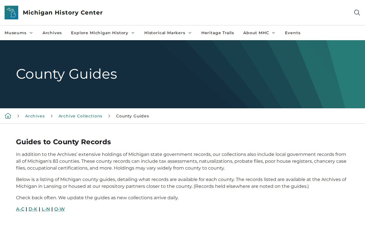
The Archives of Michigan Oakland County guide is shown below as an older-records route for Oak Park previous residents.
Oak Park's official recreation-plan history reports 1,119 new buildings from 1946 through 1949. That postwar change makes permits, assessments, plats, transfers, and directories useful parts of a property timeline, while the Royal Oak Township label remains important for earlier records.
Oak Park Deeds Backward in Time
The deed chain is the ownership side of the Oak Park previous residents question. Use the current or recent recorded instrument to identify the grantor, grantee, document date, instrument number, and any prior reference. Then use the parties and prior reference to find the earlier transaction. A transfer proves that an instrument was recorded. It does not prove the grantee occupied the property, so pair the chain with time-specific directory or census evidence before describing a past household.
- Confirm the Oak Park address, PIN, and legal description in Property Gateway and BS&A, preserving the assessment or map date.
- Locate the current or recent instrument in the Oakland County Super Index and write down the document type, date, parties, and instrument or liber/page reference.
- Identify the person who transferred the property, then search that person as a grantee to locate the prior acquisition when the index and instrument support the connection.
- Repeat the recorded-reference trail backward, checking the legal description at each turn so a similar street address does not substitute for the parcel.
- When the chain reaches a plat issue, an unclear reference, or the online coverage boundary, use the Register of Deeds' separate map route or county counter and request the recorded image or certified copy as needed.
- Grantor and grantee
- The grantor transfers an interest in a recorded instrument; the grantee receives that interest.
- Chain of title
- The linked sequence of recorded transactions affecting the same property over time.
- Legal description
- The formal parcel wording that can identify land more reliably than a street address when streets or parcel boundaries change.
- Instrument reference
- The document number or liber/page reference used to locate the recorded item and its prior link.
Oak Park Super Index Boundaries
Oakland County says Super Index copies recorded documents from January 1, 1964, except subdivision plat maps. That statement gives a firm online-copy boundary, but it does not establish the current live search controls or guarantee that a particular earlier property record is absent. The research did not capture the live fields, pagination, export options, payment prompts, or login requirements. Use the index as a lead and verify the actual document with the Register of Deeds.
Subdivision plats need a separate map or office route. The county lists copies at $1 per page and certification at $5 per document, subject to the current fee screen. Its property counter is the fallback when an index reference is unclear, a plat is involved, or a certified record is required. Note: Record the access date because county portals, copy routes, and displayed data can change independently.
Oak Park Census and Directory Pairing
Directories and census schedules supply the household side of a previous-residents search. The Library of Michigan describes Polk-style directories as searchable by surname, street, and phone, with street sections alphabetical and then arranged by house number. An entry can include household members, address, occupation, classification, business listing, or phone information depending on the issue. Use only the facts present in the named year, and retain the publisher and page with the address.
- Find the exact house number in an Oak Park or South Oakland County directory and note the year, publisher, page, and whether the item is a household, business, civic, or phone entry.
- Check the surname and street indexes for the same issue, then compare nearby available years rather than treating a missing issue as an absence of a household.
- Match the historic street form, city or township label, and house number to the relevant federal census enumeration district.
- Record the census page and line with its township or city label, then compare it with the parcel and deed timeline without turning a historic household into a current claim.
The National Archives census research page is shown below for the census portion of an Oak Park previous residents trail.
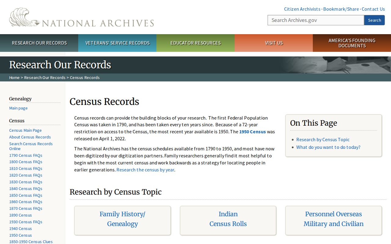
National Archives guidance makes the 1790 through 1950 census available under the 72-year rule, with the 1950 census released on April 1, 2022. Use an enumeration district, historic jurisdiction, and page or line citation. A census household is a historical observation, not current occupancy. For directory collection detail, see the Oak Park historical city directory page.
Oak Park Maps Before Addresses
A difficult Oak Park address may need a map and legal-description bridge. The University of Michigan Oakland atlas includes plat maps, patrons, and a business directory. Use its township, range, and legal-description clues to connect a historic parcel to a later record. A map label or building footprint can confirm structure or neighborhood change, but it does not identify the people who lived there.
Michigan Digital Sanborn resources are available through the Library of Michigan's online-resources route. No Oak Park-specific Library of Congress Sanborn item was located in the research, so nearby Royal Oak or Ferndale maps must not be labeled as Oak Park maps. No official city street-renumbering or modern-address-to-Royal-Oak-Township bridge was found either. Check plats, deeds, directories, and librarian or archivist assistance before assigning an older number to a current parcel.
Oak Park Archives for Earlier Clues
When Oak Park previous residents cannot be resolved from a directory, census, or recorded deed, the Archives of Michigan Oakland County guide is the strongest older-records fallback. It identifies county history and boundaries along with cemetery files, dockets, rural property inventory, naturalization, probate, tax, assessment, and Royal Oak Township voter books. Individual series have their own date spans, so begin with the specific address, surname, record type, and time range rather than a broad request for everyone tied to a house.
The guide lists rural property inventory for 1936 through 1942, probate files and calendars through 1971, and Royal Oak Township voter books for 1928 through 1932 among many holdings. Not all material is digitized or name-indexed. The Archives requires photo ID for a visit and publishes its current reading-room access guidance. Oak Park Library, the Oakland County Pioneer and Historical Society, and the Oakland County Genealogical Society are additional leads when a collection title or year needs confirmation.
Limits of Oak Park Previous Residents Research
Past residents, recorded owners, and a historic household are different claims. A deed identifies a recorded transaction. A directory reports an entry for its publication year. A census gives an enumerated household. A map tracks land or structures. A city project record gives public project context. Match each claim to the source that actually supports it, retain the date and jurisdiction, and label gaps instead of smoothing them into a single biography.
Oak Park has no official comprehensive municipal archive catalog, cemetery locator, or street-number bridge in the researched sources. For a missing result, move to the county recorder, library, Archives of Michigan, historical organizations, or a precise records request. Do not use historic names and addresses to contact descendants, publish sensitive details about living people, or infer a current residence. Michigan's Address Confidentiality Program shields actual residences for eligible participants.
Lawful use. Oak Park previous-residents research is for house history, family history, estate work, and personal curiosity. Do not use a historical address trail to stalk, harass, intimidate, or locate a protected person.